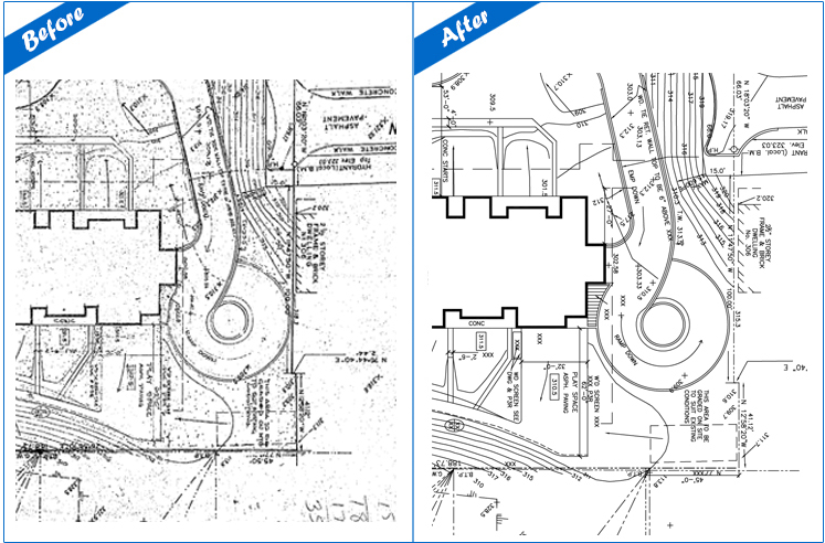
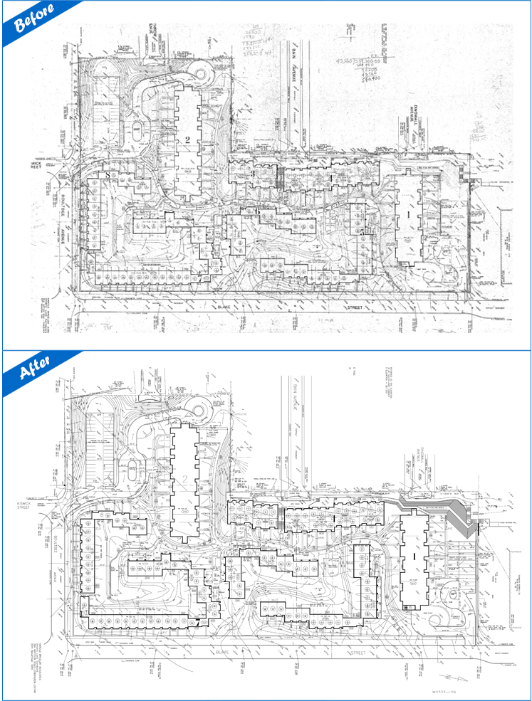
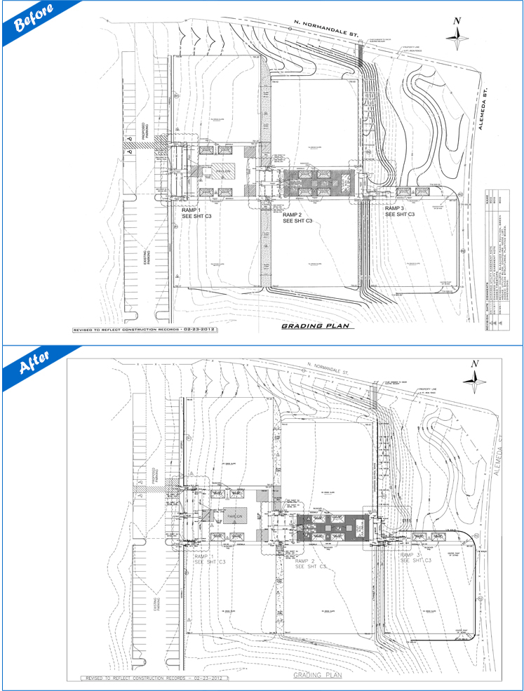
VMD through the conversion service, can provide a wide-variety of mapping services using the latest technology: GIS Conversions, Utility Mapping, Topographic Mapping, Parcel Mapping, Aerial Image Processing. Our team can convert your old topographic maps into new fully editable ones. We can help you with utility mapping for water pipes, sewerage, telephone, electricity, and gas. Our topographic mapping service offers you an effective topographic mapping solution. We can execute Parcel Mapping to facilitate the identification of the location of a land property in relation to public ways and adjacent properties. And last but not the least, we can provide you with Aerial Image Processing, which requires the handling of forests, road networks, habitation and vegetation.